LiquiData
A tangible tabletop on which your movement through the city becomes a liquid surface to touch, explore, and annotate.
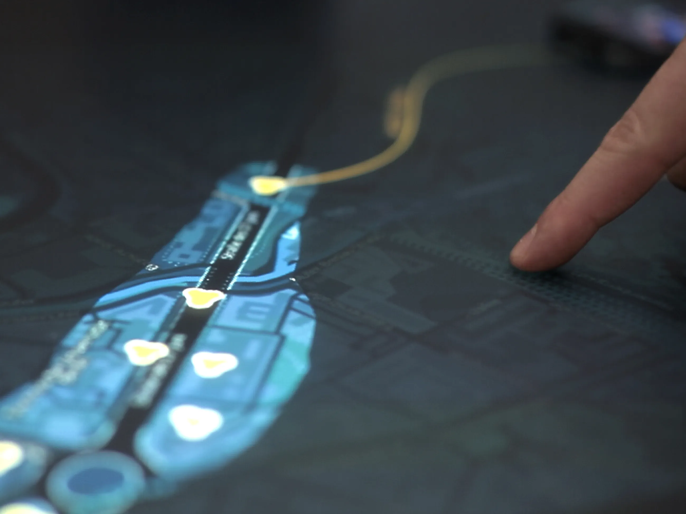
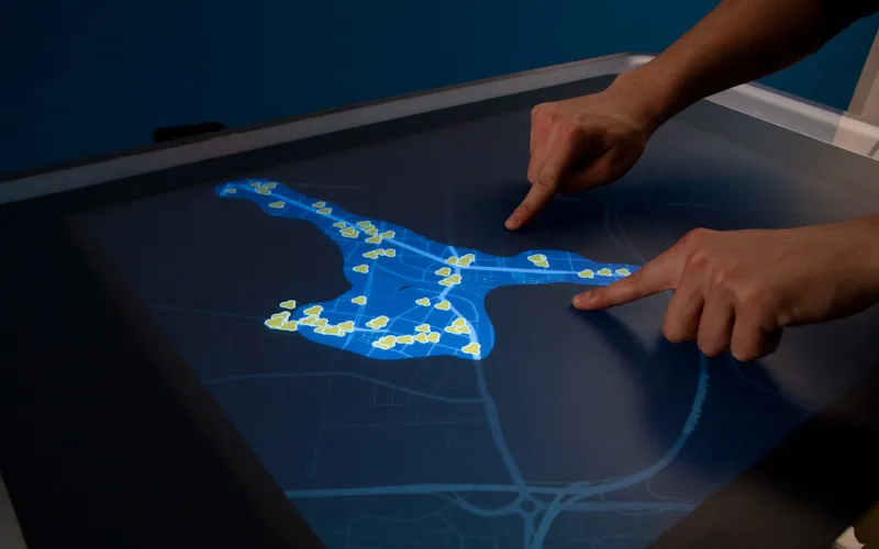
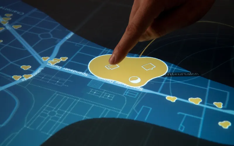
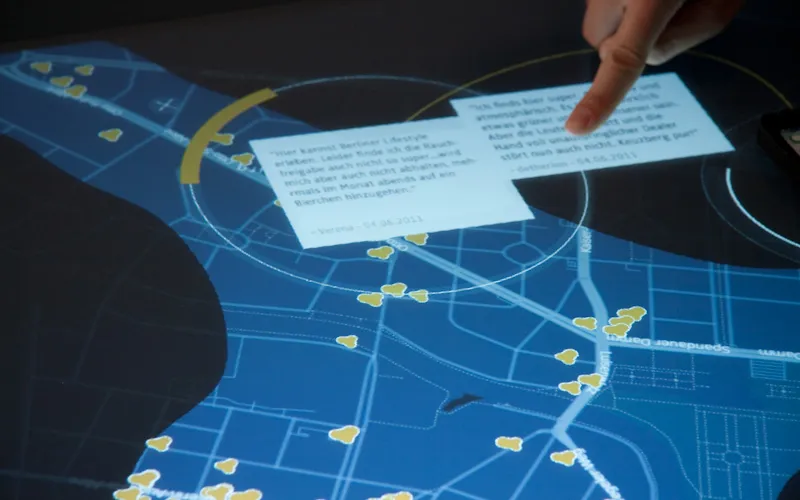
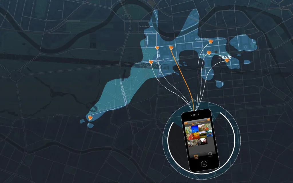
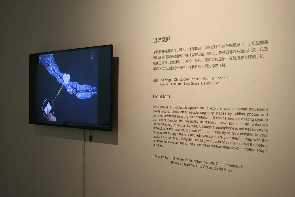
LiquiData is a tangible tabletop visualization of your personal movement profile: your traces through a city rendered as a liquid surface you can touch, explore, and annotate. Adding photos and comments from your smartphone turns it into a social system: a way to share engaging places with others, discover new spots in unfamiliar surroundings, and compare your mental map of a city with where you actually went.
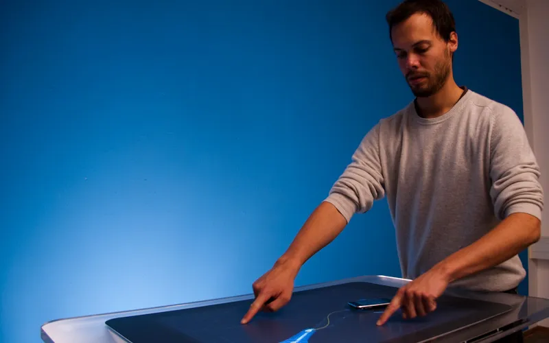
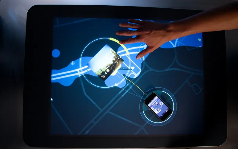
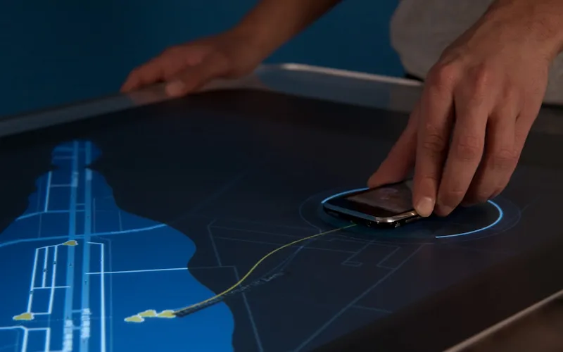
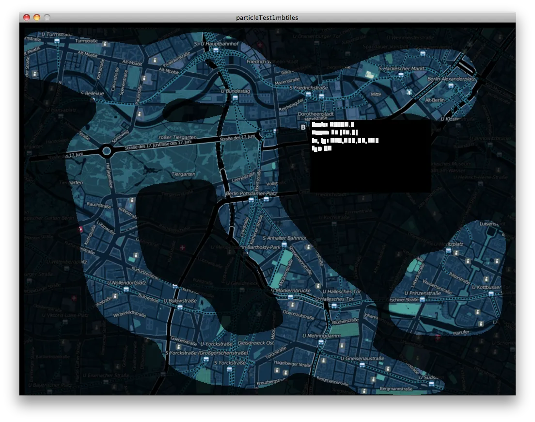
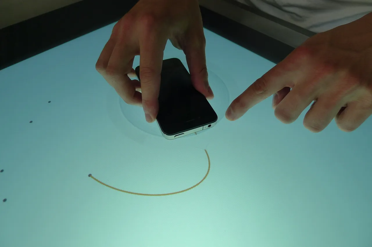
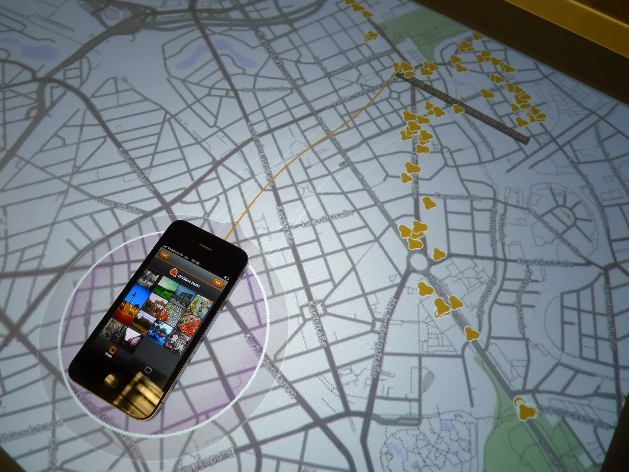
Lay your phone on the table and its location history flows out across a darkened city map. Where you have been, the liquid settles and clears the view; everywhere else stays under a veil. A curved line, the Snapper, ties the phone to a nearby place: slide or rotate the phone to pick another, or narrow the choice with the radial menu around it.
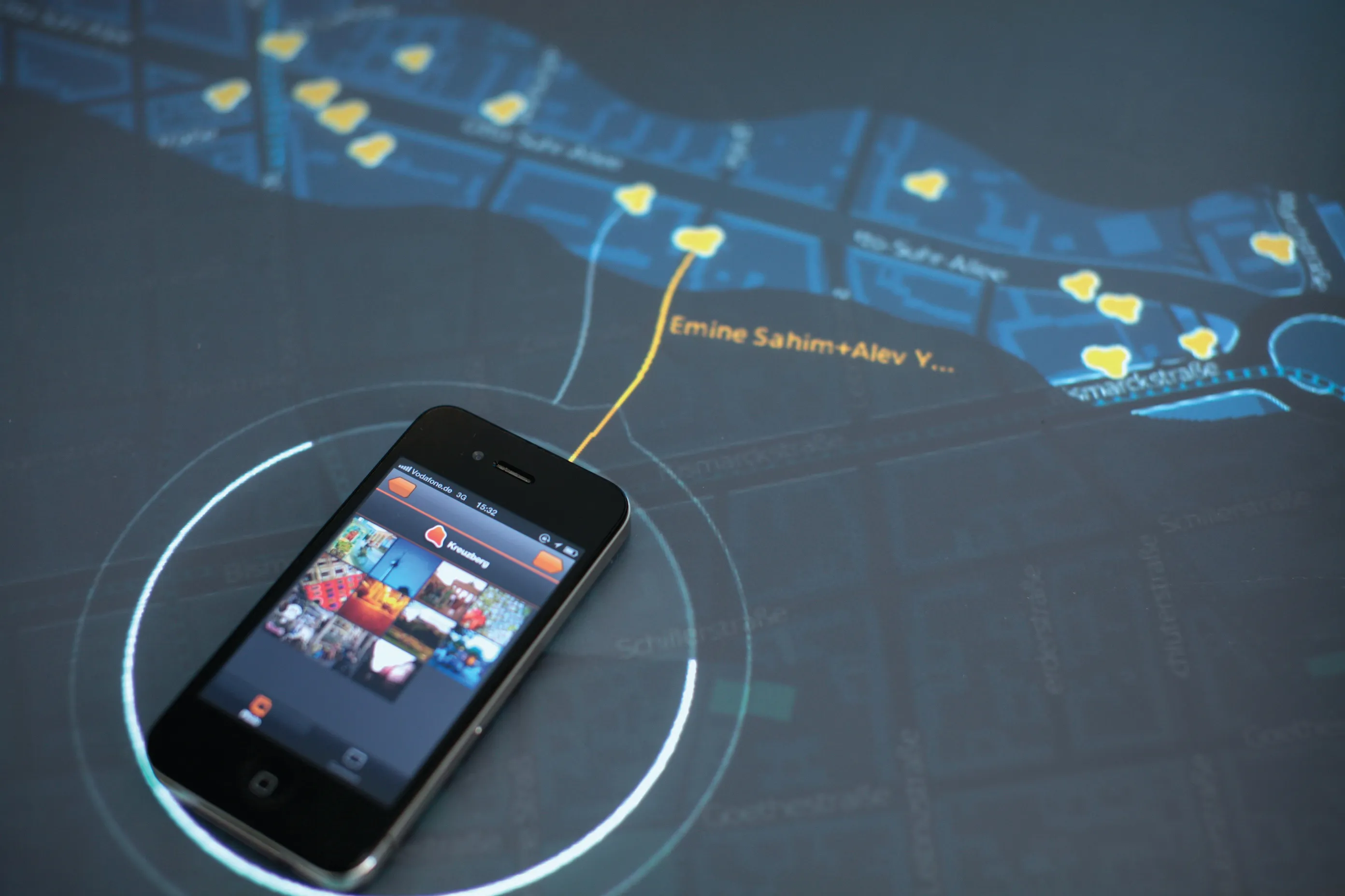
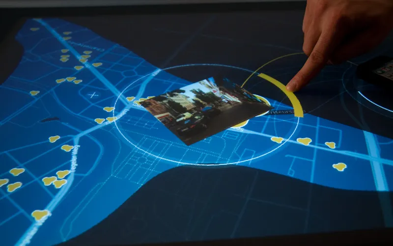
Each place is a three-part element of ratings, comments, and photos, and each part grows with what people leave there. A geotagged photo can be swiped from the phone onto the spot where it was taken.
The prototype runs on object-trackable tabletops like the Microsoft Surface, written entirely in Processing: the liquid’s aesthetic and behavior come from GLGraphics and toxiclibs, multitouch gestures from TUIO, and the map stack from OSM data, TileMill tiles, and the Unfolding library. The code is on GitHub (MIT), and Gunnar’s Snapper has a repository of its own.
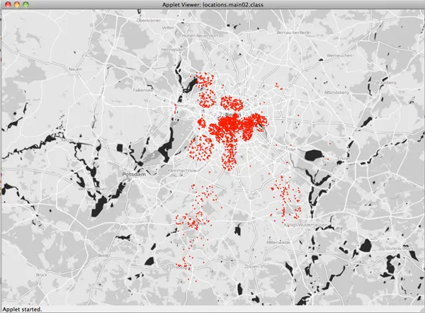
The project started in Till Nagel’s course “Graspable Maps” at FH Potsdam in the summer semester of 2011 (the same course as Lichtreise), together with Gunnar Friedrich, Pierre La Baume, David Ikuye, and Luis Grass. While we were looking for a topic, Pete Warden and Alasdair Allan revealed that the iPhone logs its owner’s locations in a file, consolidated.db, and keeps them indefinitely. Instead of sketching another worst case, we asked what that record could do for the person it describes.
We pictured the table wherever travelers cross paths: a hotel lobby, say, where guests back from a walk pour out their day, see which places other guests have marked, and leave photos and comments of their own. Visitors without a smartphone can still browse the places others have uncovered.
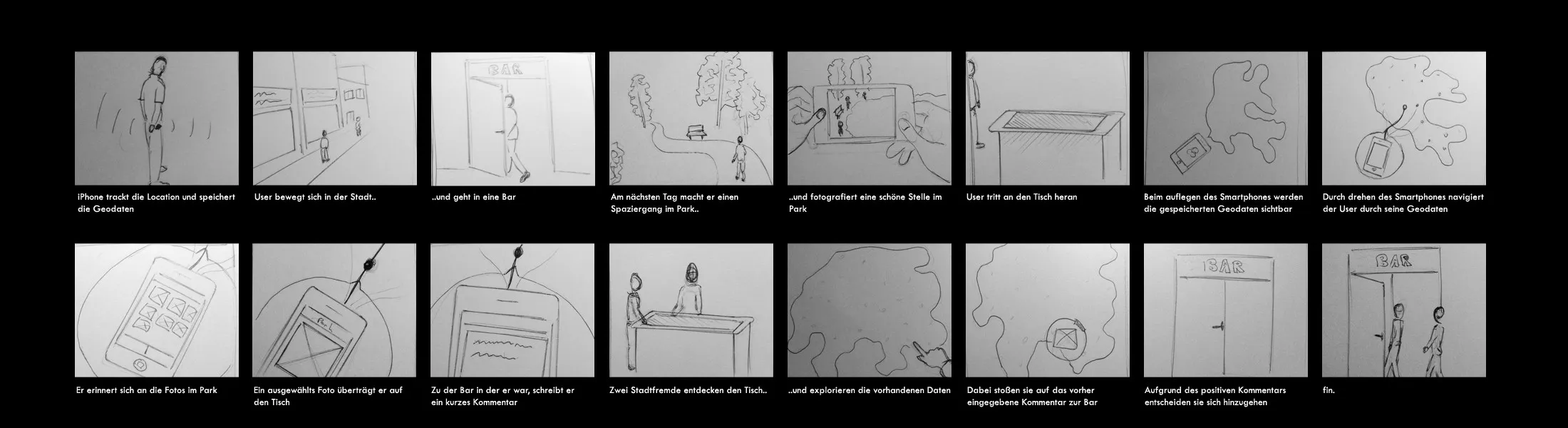
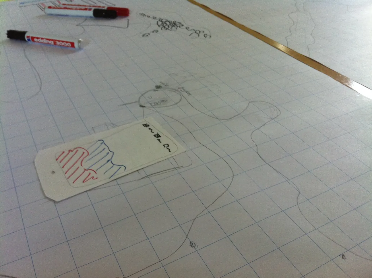
The course ended with a first presentation at FH Potsdam, but I saw more potential in the idea and talked Gunnar into continuing; the two of us then carried it to a working prototype. Getting the fluid feeling onto the Surface was its own story. GLSL shaders that ran beautifully on my machine hit an unfixed driver issue on the table’s ATI Radeon, so we ended up building a geo-location-driven particle engine wrapped in an isocontour instead, similar to the SearchGeometry library. Parts of the process are on Flickr, and the course’s German process documentation is on Incom.
The following winter, Gunnar and I designed Cycle Mail with Florian Schulz, and I later worked with Till again on Border Bumping and cf. city flows.
Images
Images: Photo: David Ikuye
Left and right arrow keys flip through the pile, Enter enlarges the top image.