Lichtreise
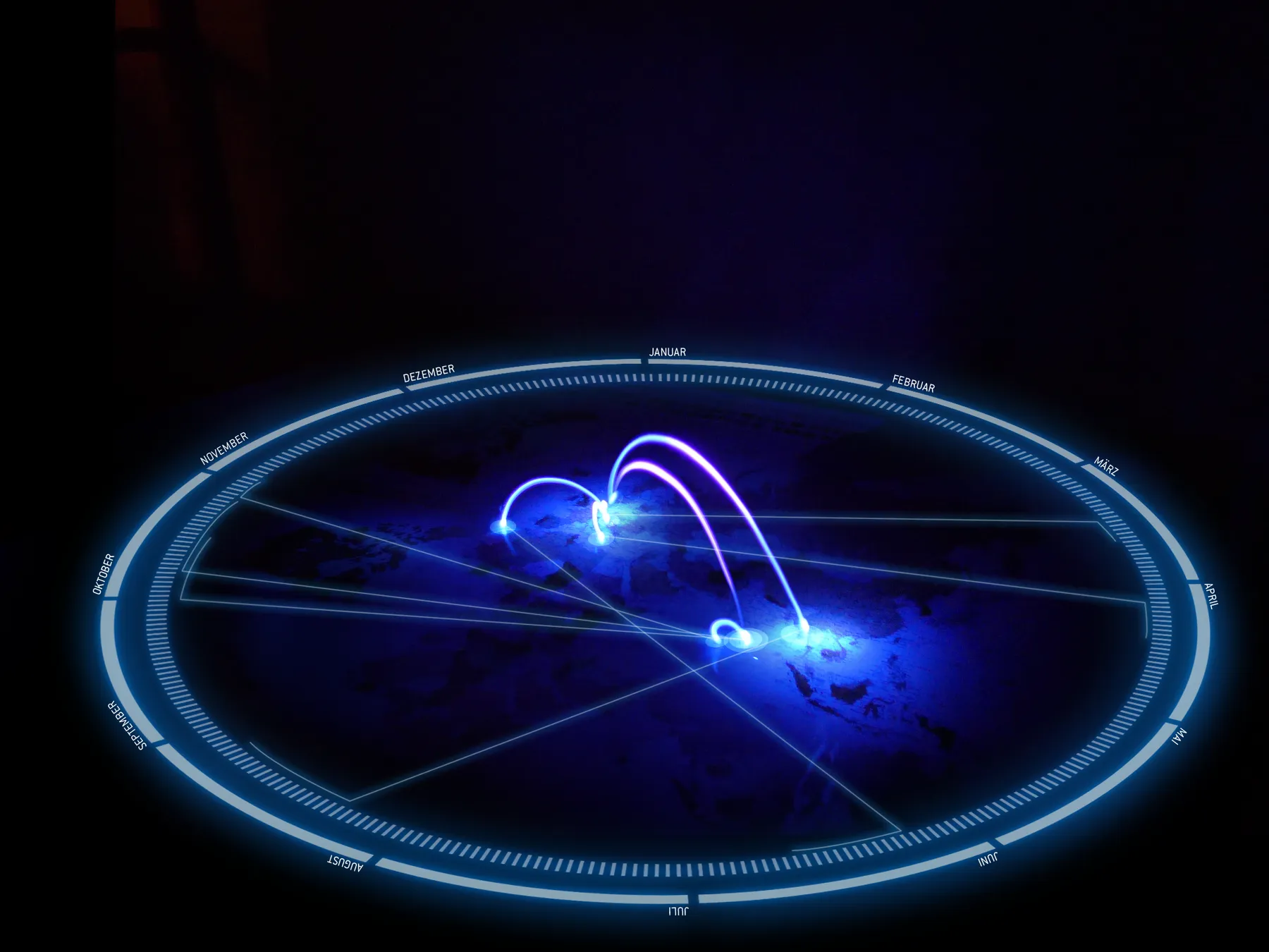
Travel routes drawn by hand with a UV LED, one long exposure per route, layered into a single map, exposed rather than rendered.
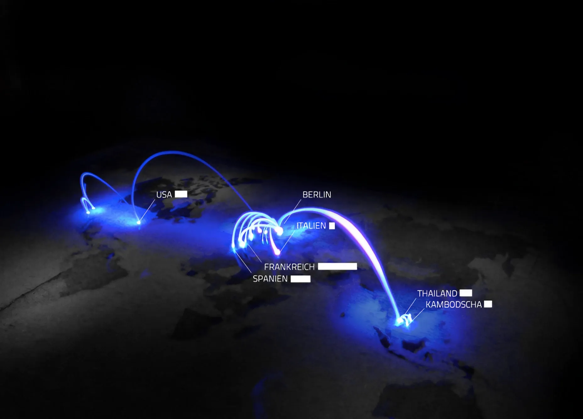
Lichtreise (“light journey”) is a map made without a single line of code: travel routes drawn as light, captured in long-exposure photographs.
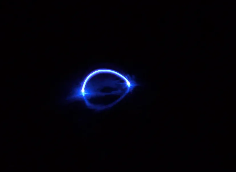
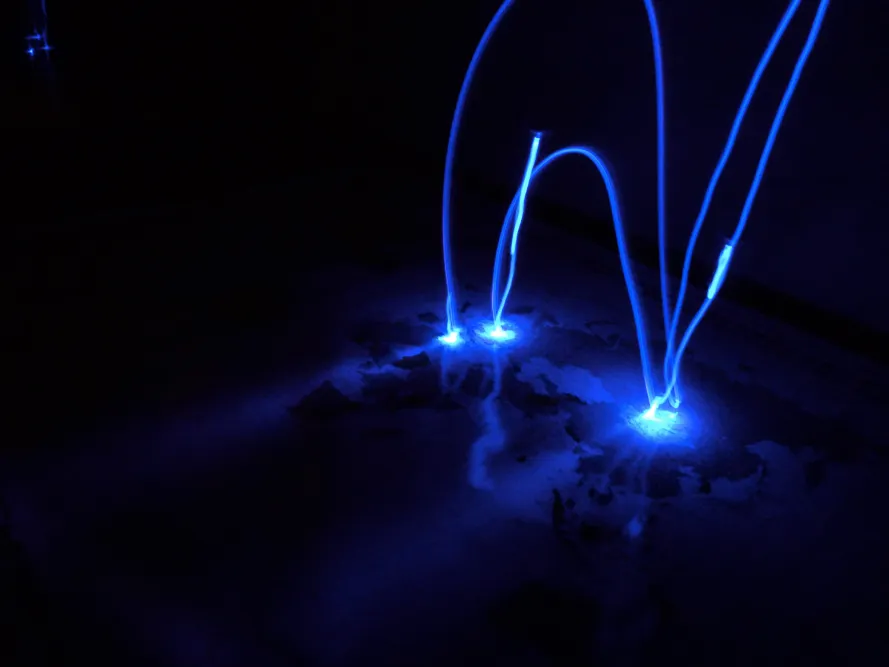
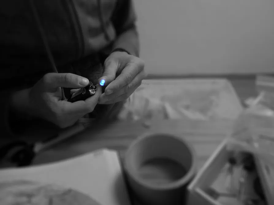
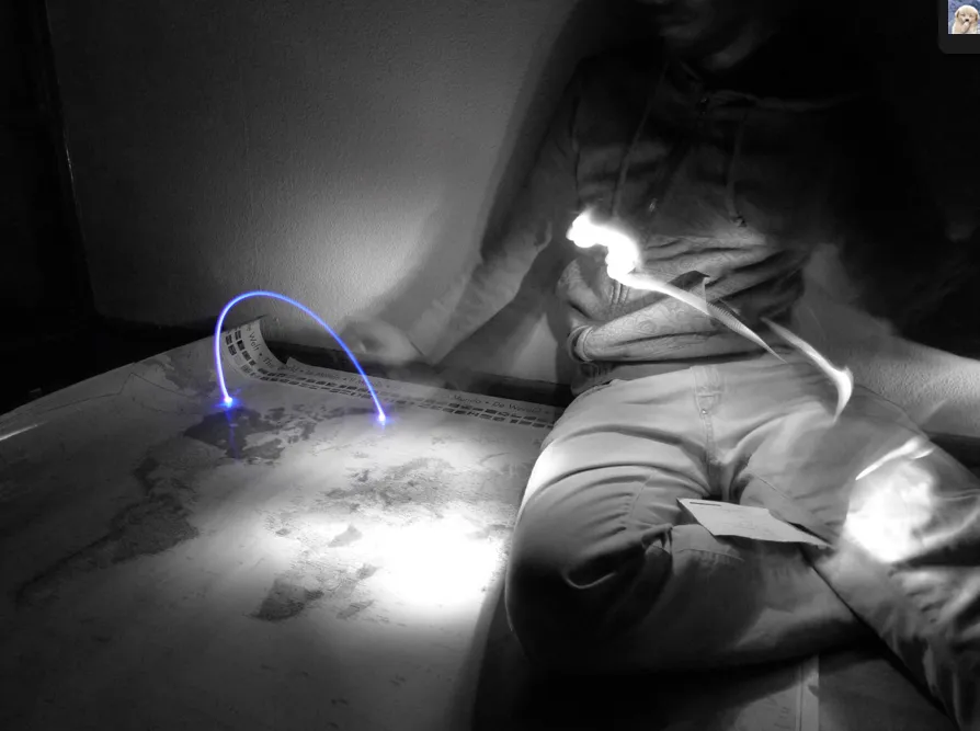
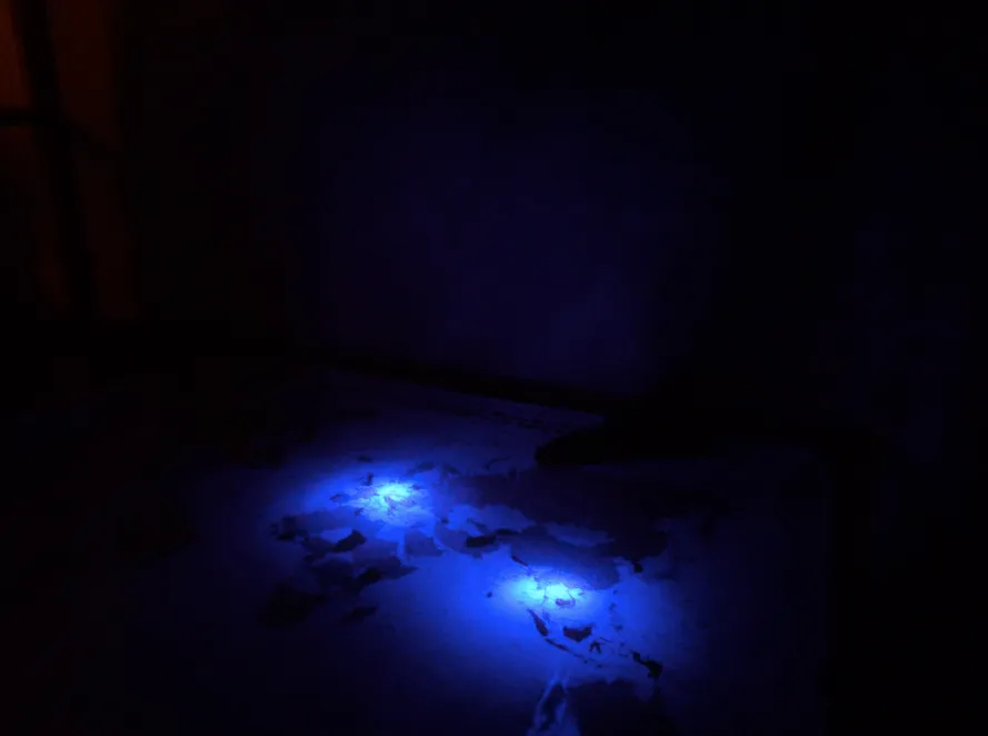
The technique, from a 2011 experiment, is as simple as it gets: a battery-powered UV LED, moved by hand along each route over the photographed surface while the shutter stays open. The hard part was landing each arc precisely on its place with no other light in the room. Every route becomes its own long exposure, one continuous arc of light; the map is lit in a separate step, and the layered exposures form an infographic that was never rendered, only exposed.
The result makes a quiet argument: visualization doesn’t have to be digital to be precise, and the most direct way to draw movement is sometimes to move.
Lichtreise was a small experiment for one assignment in Till Nagel’s course “Graspable Maps” at FH Potsdam in summer 2011: visualize selected journeys of your own life, as a static image, using at least seven places. The same course produced LiquiData.
A second composite sets the light arcs inside a glowing ring of months, with thin lines tying each destination to a month.